Special weather statement continued for:
Port Carling – Port Severn,
Bracebridge – Gravenhurst,
Fenelon Falls – Balsam Lake Park – Northern Kawartha Lakes,
Special weather statement continued for:
Town of Parry Sound – Rosseau – Killbear Park,
Current details:
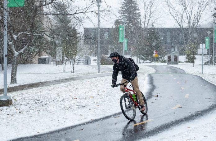
Snow and ice pellets today with the risk of freezing rain before a transition to rain this evening.
Hazards:
Snow and ice pellets followed by the risk of freezing rain.
Up to 5 centimetres of snow.
Timing:
Precipitation beginning this morning and lasting into early Sunday.
Discussion:
An approaching storm system will bring a mix of precipitation today into tonight. Precipitation will begin as snow, but will likely become mixed with ice pellets today. Then, several hours of freezing rain will be possible before a transition to rain this evening.
A Freezing Rain Warning will be required today if a period of freezing rain develops.
Special weather statement continued for:
Uxbridge – Beaverton – Northern Durham Region,
Newmarket – Georgina – Northern York Region,
Midland – Coldwater – Orr Lake,
Orillia – Lagoon City – Washago,
Lindsay – Southern Kawartha Lakes,
Innisfil – New Tecumseth – Angus,
Caledon,
Current details:
Patchy freezing rain possible today before a change to rain.
Hazards:
Possible freezing rain
Untreated roads and surfaces may become slippery
Timing:
Patchy freezing rain where temperatures remain near zero will be possible this morning into this afternoon.
Discussion:
An approaching storm system will spread precipitation across the area today. This precipitation may start as patchy freezing rain before switching to rain as temperatures warm. Some ice accretion is possible, and untreated roads and surfaces may become slippery.
Freezing rain warning issued for:
Huntsville – Baysville,
Haliburton,
Current details:
Snow, ice pellets and freezing rain today into tonight.
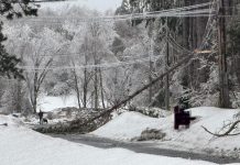
Light snow is forecast to develop this morning. This snow is then expected to increase in intensity today and become mixed with ice pellets at times. Up to 10 cm of new snow and ice pellet accumulation will be possible before a transition to a period of freezing rain this afternoon or this evening. The freezing rain will likely last for several hours before transitioning to rain tonight as temperatures rise. 5 to 10 mm of ice accretion will be possible. Then by Sunday morning, a period of light snow is expected as temperatures cool once again.
Hazards:
Up to 10 cm of snow and ice pellets.
5 to 10 mm of ice accretion due to several hours of freezing rain.
Surfaces such as highways, roads, walkways and parking lots may become icy and slippery.
Slow down driving in slippery conditions. Watch for taillights ahead and maintain a safe following distance.
Please continue to monitor alerts and forecasts issued by Environment Canada. To report severe weather, send an email to ONstorm@canada.ca or tweet reports using #ONStorm.
Snowfall warning continued for:
South River – Burk’s Falls,
Western Algonquin Park – Lake of Two Rivers,
Current details:
Snowfall with total amounts of 15 to 25 cm is expected.
Hazards:
15 to 25 cm of snow
Poor visibility in heavy and local blowing snow
Poor road conditions due to accumulating and local blowing snow
Timing:
Snow will begin this morning and taper off overnight or Sunday morning. The heaviest snow is expected this afternoon and evening.
Discussion:
A snowstorm will bring 15 to 25 cm of snow this weekend. Snow will begin this morning, but the heaviest snow is expected in the afternoon and evening hours when snowfall rates of 2 to 3 cm per hour will be possible. Gusty northeast winds to 60 km/h will combine with fresh snow to create blowing and drifting snow, particularly in exposed areas. For areas near and south of North Bay, freezing rain is also a possibility tonight.
Surfaces such as highways, roads, walkways and parking lots may become difficult to navigate due to accumulating snow.
Prepare for quickly changing and deteriorating travel conditions. Take frequent breaks and avoid strain when clearing snow.
Please continue to monitor alerts and forecasts issued by Environment Canada. To report severe weather, send an email to ONstorm@canada.ca or tweet reports using #ONStorm


