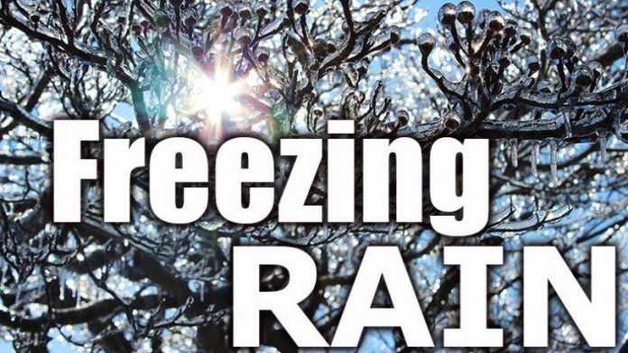
A low pressure system will track east across the Great Lakes today through Monday. Precipitation will begin as snow this afternoon then will change to ice pellets or freezing rain this evening, mainly for areas inland from the lake shore, before changing to rain by Monday morning. Periods of rain, which could be heavy at times, will continue through the day Monday. Freezing rain and rainfall warnings may be issued as the event draws nearer.
Special weather statement continued for:
City of Toronto,
York – Durham,
Barrie – Orillia – Midland,
Port Carling – Port Severn,
Bracebridge – Gravenhurst,
Haliburton – Minden – Southern Haliburton County,
Fenelon Falls – Balsam Lake Park – Northern Kawartha Lakes,
Lindsay – Southern Kawartha Lakes,
Bruce Peninsula – Sauble Beach – Tobermory,
Owen Sound – Blue Mountains – Northern Grey County,
Innisfil – New Tecumseth – Angus,
Mississauga – Brampton,
Halton Hills – Milton,
Burlington – Oakville,
Hazards:
Risk of freezing rain.
Heavy rain
When:
tonight through Monday.
Impacts:
Hazardous travel conditions are expected due to ice build-up.
Localized flooding possible for areas that have recently received accumulating snowfall.
Please continue to monitor alerts and forecasts issued by Environment Canada. To report severe weather, send an email to ONstorm@ec.gc.ca or tweet reports using #ONStorm


