The Ministry of Natural Resources and Forestry – Parry Sound District is advising area residents that a Flood Watch is in effect until Wednesday March 31, 2021. This message will effect residents within the MNRF Parry Sound District which includes the District Municipality of Muskoka, the Territorial District of Parry Sound and a north-west portion in the County of Haliburton.
Higher water levels and flow conditions are anticipated as a result of melting snow, and precipitation moving through the area. Weather forecasts have been updated to suggest 20 – 40mm, with some areas receiving up to 50mm of precipitation today (March 26th). Another 10 to 15mm of precipitation
is forecast over the weekend. Residents are reminded to keep a close watch on conditions and
regularly check for updated messages.
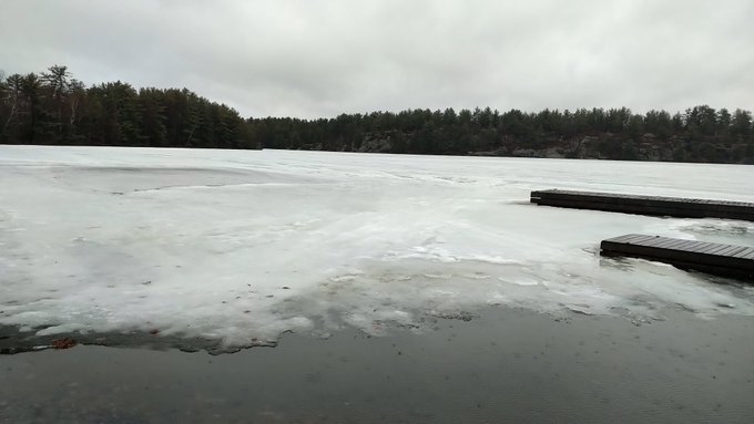
Flows are quickly increasing in area watercourses and lake levels are rising. Localized flooding may be occurring in flood prone areas.
With the rain and warmer temperatures, banks and shorelines adjacent to water bodies can be extremely slippery and unstable. Residents and visitors should exercise caution while around water bodies and maintain close supervision of children and pets.
MNRF also advises extreme caution when using forest access roads for outdoor activities as they may become seasonally inundated with water, are prone to washouts and may become impassible due to localized flooding.
TECHNICAL INFORMATION
Description of Weather System
A system is moving through the area today bringing 20 – 40 mm of rain with some areas receiving up to 50mm of precipitation today. An additional 5mm of precipitation is forecast for Saturday and another 5-10mm of precipitation is forecast for Sunday. Over the next 5 days, the daytime highs range between 4°C and 14°C, with overnight lows between
-4°C and 5°C.
Description of Current Conditions.
Snow conditions as of March 23rd in the Muskoka and Parry Sound region averaged 22.4cm of snow depth, containing an average of 86.8mm of snow water equivalent. The snow water equivalent is estimated to be about 81% of normal for this time of year.
Warm days, rain and a melting snowpack will increase runoff throughout Parry Sound District, including the Muskoka River Watershed and Magnetawan River watershed. The major lakes and rivers are within their normal operating zones for this time of year; however, flows and levels are rising quickly and localized flooding may occur in flood prone areas.
MNRF is closely monitoring the weather and developing watershed conditions. Further updates will be issued as appropriate.
DEFINITIONS
- WATERSHED CONDITIONS STATEMENT – WATER SAFETY: indicates that high flows, melting ice or other factors could be dangerous for such users as boaters, anglers and swimmers but flooding is not expected.
- WATERSHED CONDITIONS STATEMENT – FLOOD OUTLOOK: gives early notice of the potential for flooding based on weather forecasts calling for heavy rain, snow melt, high winds or other conditions
- FLOOD WATCH: potential for flooding exists within specific watercourses and municipalities
- FLOOD WARNING: flooding is imminent or occurring within specific watercourses and municipalities.
LEARN MORE
- Surface Water Monitoring Centre public webpage www.ontario.ca/flooding
- Environment Canada bulletins: www. weather.gc.ca
- A close watch on local conditions and weather forecasts from Environment Canada is recommended.


