Snow squall warning replaces snow squall watch for:
Town of Parry Sound – Rosseau – Killbear Park,
Port Carling – Port Severn,
Bracebridge – Gravenhurst,
Current details:
Snow squalls are expected to develop this afternoon.
Hazards:
Lake effect snow, with snowfall rates of 15 to 25 cm over 12 hours possible. Local accumulations of 20 to 40 cm are possible by late Monday morning.
Near zero visibility in heavy snow and blowing snow.
Snow covered and icy roads.
When:
This afternoon until Monday morning.
Discussion:
A sharp cold front will move through the area this morning ushering in very cold Arctic air. Snow squalls are expected to develop over Georgian Bay this afternoon and finally taper off Monday morning.
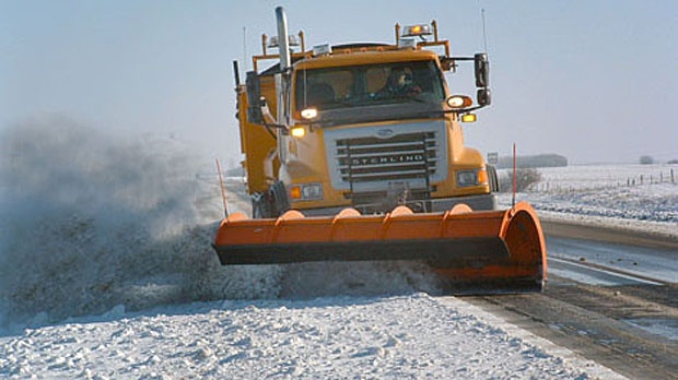
Snow squalls cause weather conditions to vary considerably; changes from clear skies to heavy snow within just a few kilometres are common. Visibility will be suddenly reduced to near zero at times in heavy snow and blowing snow. Rapidly accumulating snow could make travel difficult over some locations. Road closures are possible.
Please continue to monitor alerts and forecasts issued by Environment Canada. To report severe weather, send an email to ONstorm@ec.gc.ca or tweet reports using #ONStorm.
Snow squall warning replaces snow squall watch for:
Midland – Coldwater – Orr Lake,
Orillia – Lagoon City – Washago,
Bruce Peninsula – Sauble Beach – Tobermory,
Snow squalls are expected to develop this afternoon.
Hazards:
Lake effect snow, with snowfall rates of 15 to 25 cm over 12 hours possible. Local accumulations of 40 to 60 cm are possible by late Monday.
Near zero visibility in heavy snow and blowing snow.
Snow covered and icy roads.
When:
This afternoon until late Monday afternoon or evening.
Discussion:
A sharp cold front will move through the area this morning ushering in very cold Arctic air. Snow squalls are expected to develop over Lake Huron and Georgian Bay this afternoon. These squalls may briefly move north of the region overnight but will move back in early Monday morning. Snow squalls will finally taper off late Monday.
Snow squalls cause weather conditions to vary considerably; changes from clear skies to heavy snow within just a few kilometres are common. Visibility will be suddenly reduced to near zero at times in heavy snow and blowing snow. Rapidly accumulating snow could make travel difficult over some locations. Road closures are possible.
Please continue to monitor alerts and forecasts issued by Environment Canada. To report severe weather, send an email to ONstorm@ec.gc.ca or tweet reports using #ONStorm.


