Special weather statement continued special weather statement for:
Uxbridge – Beaverton – Northern Durham Region,
Newmarket – Georgina – Northern York Region,
Orillia – Lagoon City – Washago,
Town of Parry Sound – Rosseau – Killbear Park,
Port Carling – Port Severn,
Bracebridge – Gravenhurst,
Haliburton – Minden – Southern Haliburton County,
Fenelon Falls – Balsam Lake Park – Northern Kawartha Lakes,
Lindsay – Southern Kawartha Lakes,
Total snowfall amounts of 15 to 25 cm are possible.
Precipitation is expected to begin this morning as rain or snow and change to snow this evening. Snowfall amounts of 5 to 10 cm are possible by Tuesday morning.
Additional snowfall amounts of 10 to 15 cm are a possibility Tuesday through Wednesday,
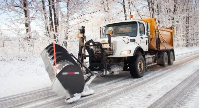
Motorists should be prepared for winter driving conditions.
This snowfall is a result of a strengthening low pressure system expected to move through eastern Ontario into Quebec Tuesday into Wednesday.
Precipitation associated with this low pressure system is expected to move east of the area by Wednesday night.
Please continue to monitor alerts and forecasts issued by Environment Canada. To report severe weather, send an email to ONstorm@canada.ca or tweet reports using #ONStorm.
Special weather statement continued special weather statement for:
South River – Burk’s Falls,
Western Algonquin Park – Lake of Two Rivers,
Huntsville – Baysville,
Oxtongue Lake – Fort Irwin – Northern Haliburton County,
Current details:
Multi-day snowfall event expected today into Wednesday.
Total snowfall amounts of 20 to 30 cm are possible.
Precipitation is expected to begin this morning as rain or snow and change to snow this afternoon or evening. Snowfall amounts of 10 to 15 cm are possible by Tuesday morning.
Additional snowfall amounts of 10 to 15 cm are a possibility Tuesday through Wednesday,
Motorists should be prepared for winter driving conditions.
This snowfall is a result of a strengthening low pressure system expected to move through eastern Ontario into Quebec Tuesday into Wednesday.
Precipitation associated with this low pressure system is expected to move east of the area by Wednesday night.
Snowfall warnings may be required as the event draws closer.


