Special weather statement continued for:
Uxbridge – Beaverton – Northern Durham Region,
Newmarket – Georgina – Northern York Region,
Barrie – Orillia – Midland,
Lindsay – Southern Kawartha Lakes,
Bruce Peninsula – Sauble Beach – Tobermory,
Innisfil – New Tecumseth – Angus,
Current details:
A messy mix of wintry precipitation as well as strong winds expected this afternoon and tonight.
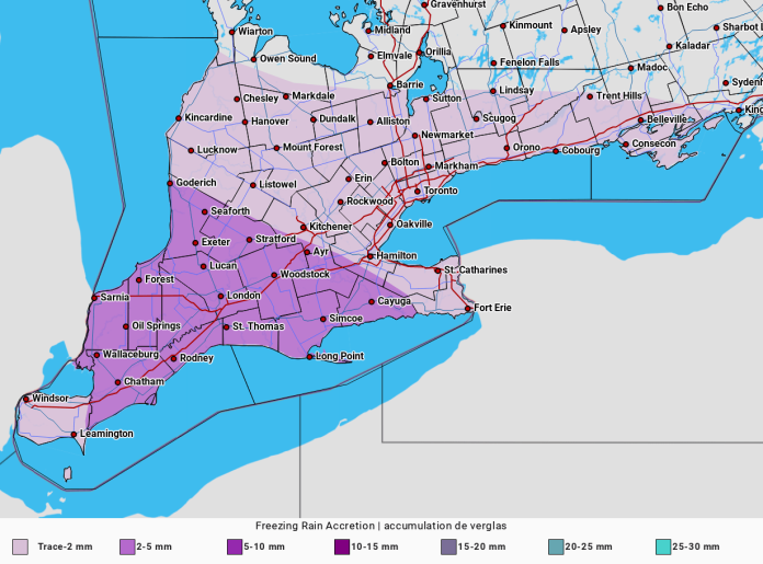
Precipitation will likely begin as snow late this afternoon or early this evening and then become mixed with ice pellets after midnight. Snow and ice pellet amounts near 5 cm are likely with local amounts to 10 cm possible. There is also a risk of freezing drizzle overnight into early Tuesday morning.
Untreated surfaces may become icy and slippery. The tail end of the evening commute may be significantly impacted.
In addition to the wintry precipitation, strong winds gusting up to 70 km/h are also expected today into Tuesday morning. Local power outages are possible.
Please continue to monitor alerts and forecasts issued by Environment Canada. To report severe weather, send an email to ONstorm@ec.gc.ca or tweet reports using #ONStorm.


