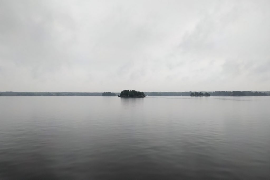
The Ministry of Northern Development, Mines, Natural Resources and Forestry (NDMNRF) – Parry Sound District is advising area residents that a Watershed Conditions Statement – Water Safety is in effect until Thursday July 15, 2021. This message will affect residents within the NDMNRF Parry Sound District which includes the District Municipality of Muskoka, the Territorial District of Parry Sound and a north-west portion in the County of Haliburton.
The recent increase in water levels and flows are anticipated to remain over the next week as runoff from recent rain moves through the river systems.
Residents are reminded to keep a close watch on conditions and regularly check for updated messages.
With recent rainfall the banks and shorelines adjacent to water bodies can be extremely slippery and unstable. Residents and visitors should exercise caution while around waterbodies and maintain close supervision of children and pets. Rivers are flowing much faster than usual for this time of year and may be hazardous for recreational activities. Lake levels are currently higher than usual for this time of year possibly causing some challenges for water activities. NDMNRF also advises extreme caution when using forest access roads for outdoor activities as they may become inundated with water, are prone to washouts and may become impassible due to localized flooding.
Environment Canada has issued a Rainfall Warning effective Thursday July 8, 2021 that covers most areas within Muskoka and Parry Sound. The rainfall warning calls for up to 50mm of rain today with another 25mm forecasted within the next 7 days.
Daytime temperatures are below seasonal today and tomorrow with more seasonal temperatures forecasted beginning Saturday July 10th
. Description of Current Conditions.Water levels for most lakes are at or above their upper operating range for this time of year. River flows are extremely high for this time of year.
The local watersheds have received upwards of 200 mm of rain over the past two weeks– this is more than the average amount of precipitation the watersheds normally receive through the months of June and July combined. This has caused saturated watershed conditions and significant runoff.
Additional rainfall forecasted for today and within the next 7-days is likely to cause lake levels andriver flows to rise further.
Minor flooding within flood prone areas is possible.
NDMNRF is closely monitoring the weather and developing watershed conditions. Further updates will be issued as appropriate.
• WATERSHED CONDITIONS STATEMENT – WATER SAFETY: indicates that high
flows, melting ice or other factors could be dangerous for such users as boaters,
anglers and swimmers but flooding is not expected.
• WATERSHED CONDITIONS STATEMENT – FLOOD OUTLOOK: gives early notice
of the potential for flooding based on weather forecasts calling for heavy rain, snow
melt, high winds or other conditions
• FLOOD WATCH: potential for flooding exists within specific watercourses and
municipalities
• FLOOD WARNING: flooding is imminent or occurring within specific watercourses
and municipalities.
