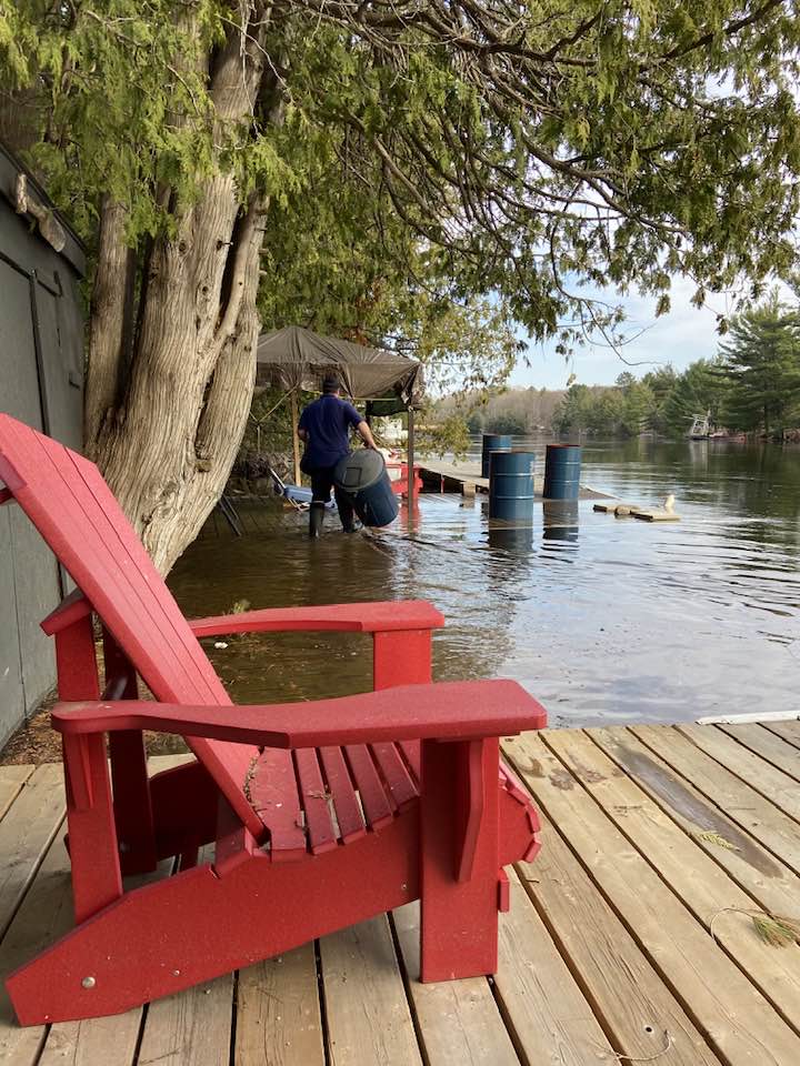
Bracebridge remains under a flood warning as declared by the Ministry of Natural Resources and Forestry on April 14. The above seasonal temperatures last week have impacted the runoff to local lakes and rivers, and water levels continue to rise significantly. As a result, Bracebridge is experiencing localized flooding.
Current Conditions
The Black River is included in the Ministry of Natural Resources and Forestry’s flood outlook. Water levels have crested and are beginning to drop.
Local river sections included in the flood warning (imminent flooding expected) include the:
- North branch of the Muskoka River from Huntsville to Bracebridge; and the
- South branch of the Muskoka River from Baysville to Bracebridge.
Water levels in the Muskoka River continue to rise and properties along the river are experiencing flooding. Property owners are encouraged to secure their property, docks, and outdoor furniture, ensure sump pumps are working properly, and that water drains away from their home. An increased amount of debris in the Black River and Muskoka River is also being experienced.
Free sandbags and sand continue to be available at the Town of Bracebridge Municipal Office at 1000 Taylor Court.
Town of Bracebridge and Ministry officials are closely monitoring the weather and developing watershed conditions. Status updates can be found on the Ontario flood map.
Road Safety
Public Works crews continue to monitor local roadways and municipally owned infrastructure. Due to the increased water levels, road closures and cautions may be implemented. Exercise extreme caution when driving in changing weather conditions and obey all on-road signage and barriers.
River Road is currently closed from Taylor Road (MR 42) to 50 River Road, and caution is advised for portions of Wilson’s Falls Road and Sherwood Forest Road. Washouts are also possible on seasonal and private roads.
